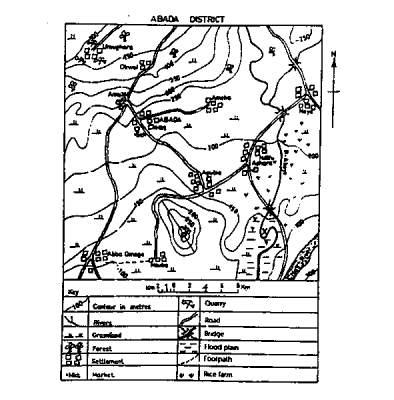
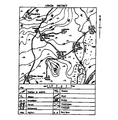
Concept:Contour lines are lines on a map joining points of equal height above sea level.Explanation:The highest contour line is identified by scanning the map for the largest value labelled on any contour. The values increase steadily towards the summit of the mapped area. The maximum closed contour shown on the map is 500 metres. Thus, no contour line in the mapped area exceeds 500 metres.